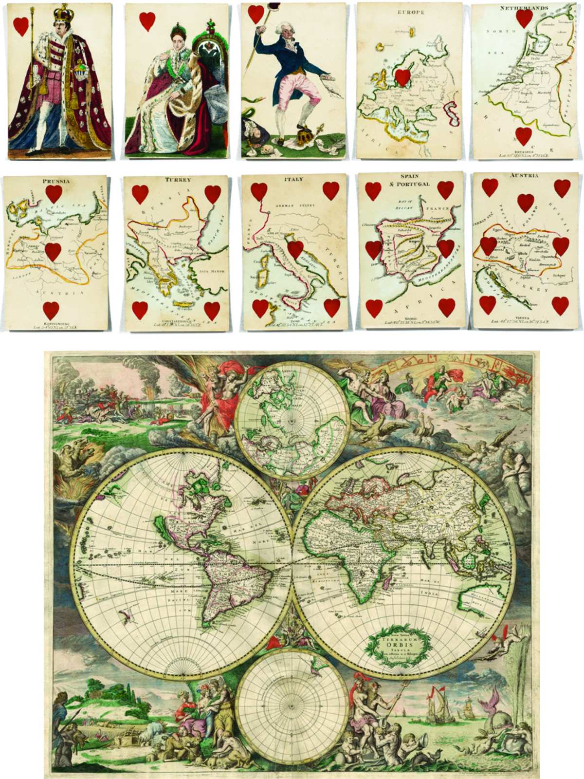
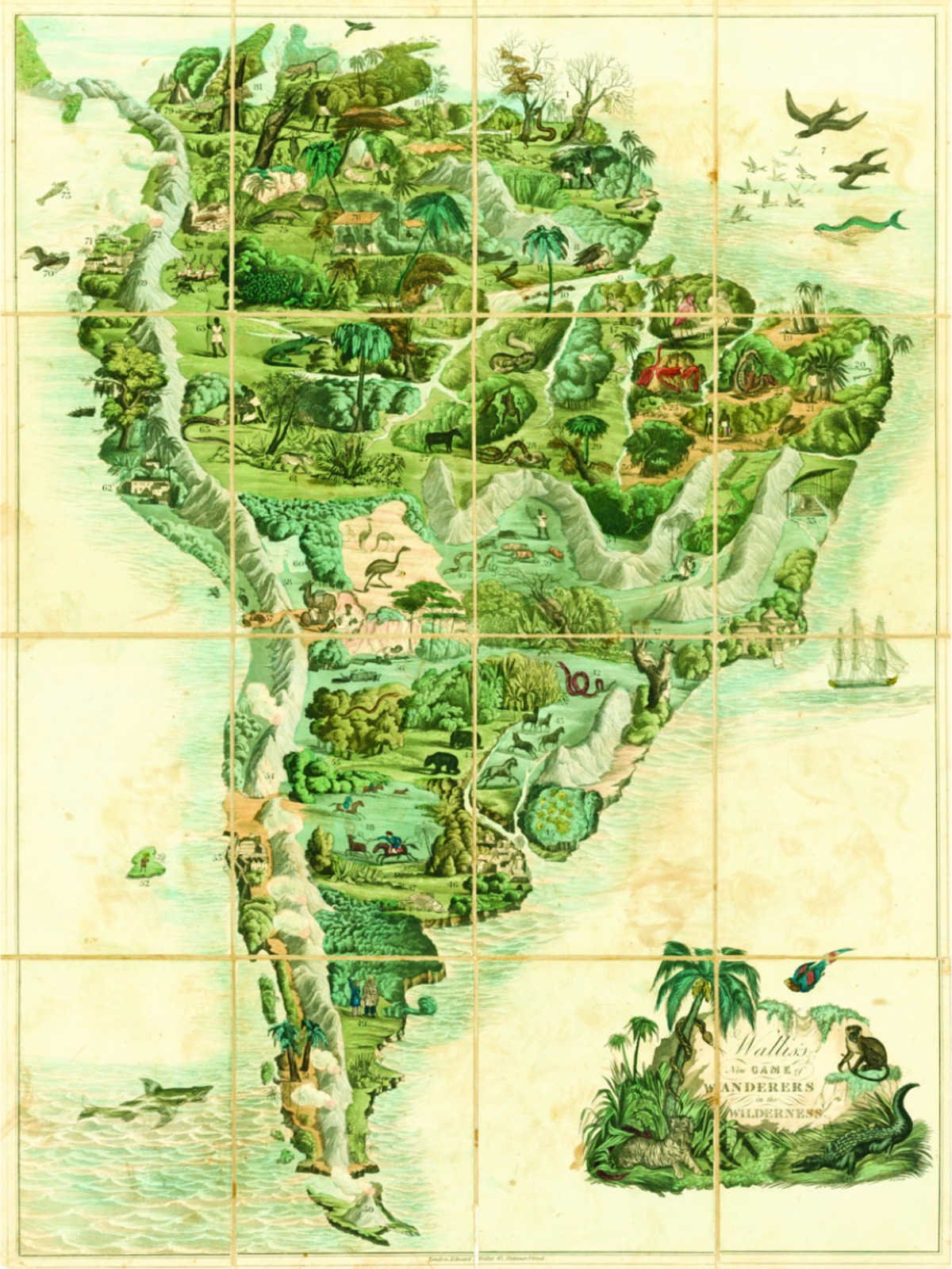
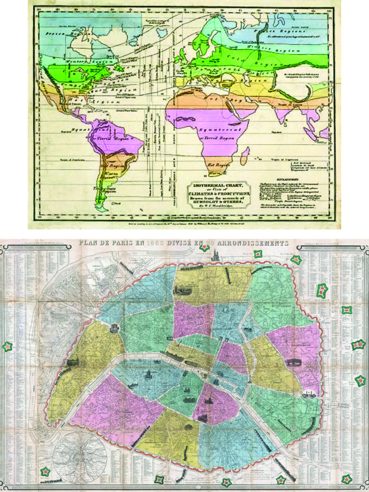
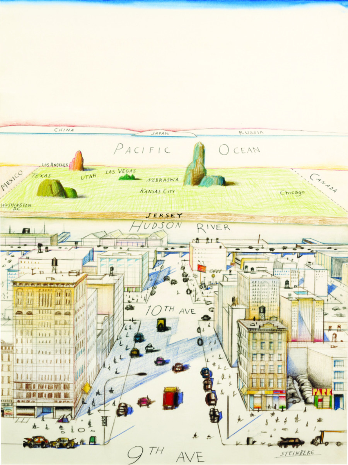
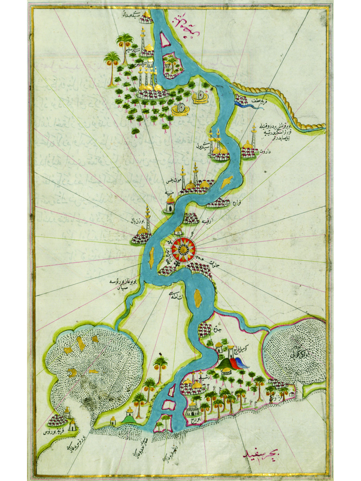
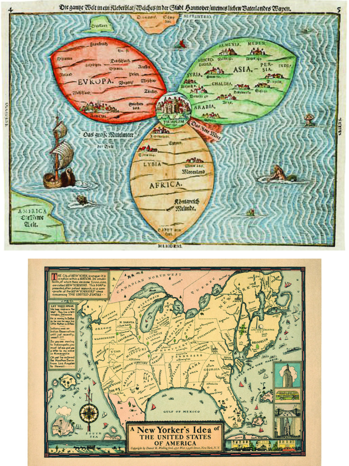
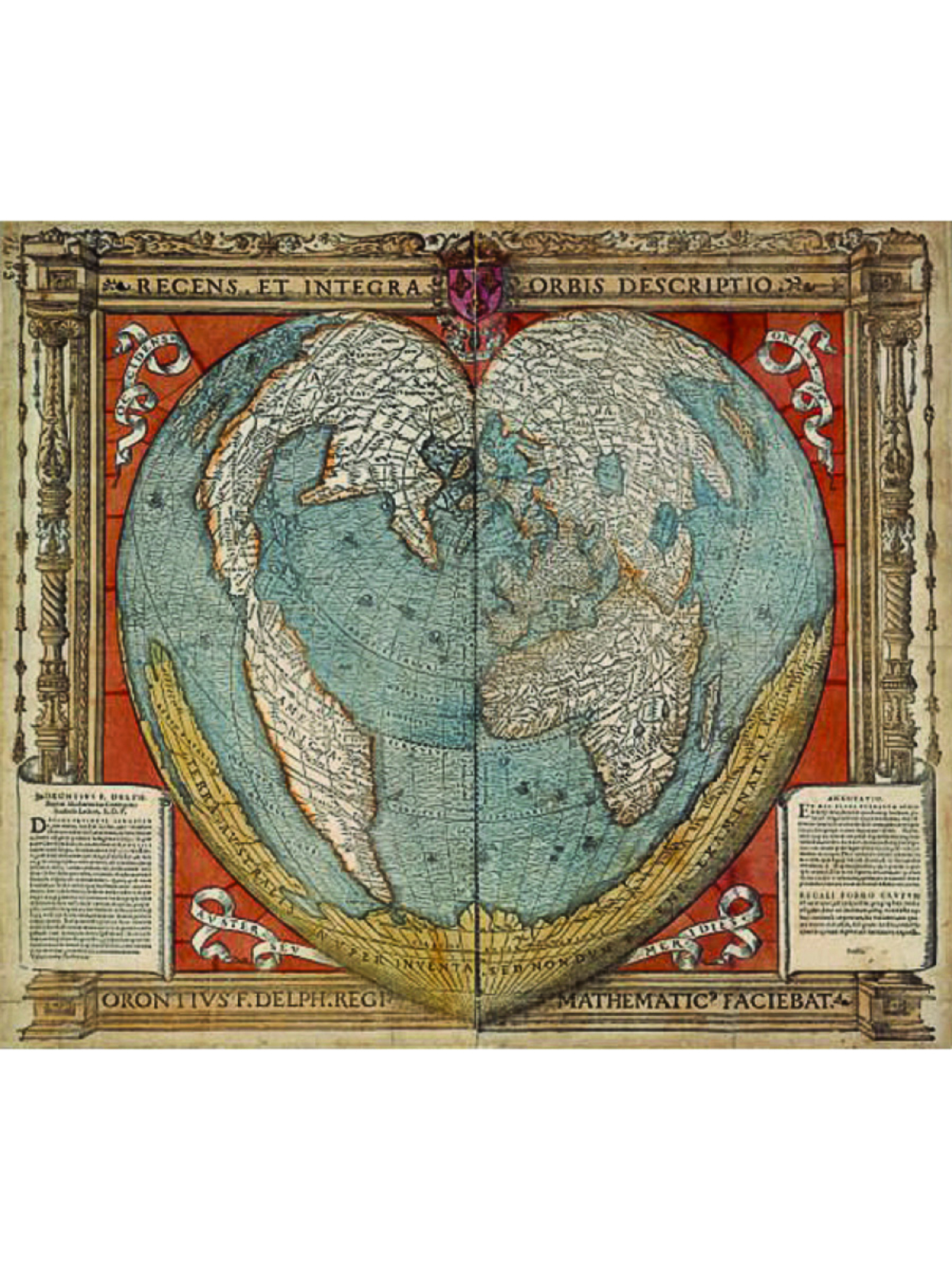
Saint Augustine once asked, “Who can map out the various forces at play in one soul?” The act of taking a three-dimensional surface and projecting it onto a plane is similarly laden and, as a book collecting more than 250 maps shows, spans millennia and approaches. Modern cartography, according to most historians, can be traced to the ancient Greeks—the second-century Greek-Egyptian geographer Claudius Ptolemy is believed to have been the first to classify the concepts of latitude and longitude—and the scroll maps of East Asia, and has since transcended the informational to inhabit a hybrid sphere of science and artistic design. Here, images from ancient Egypt to New York City explore the ways in which we have mapped the world throughout history. —Julia Vitale
7
A Journey to the Center of the Earth
A book showcasing exquisite drawings both ancient and modern captures our evergreen relationship with mapping the world
March 28, 2020
Reading Time: 1 minute