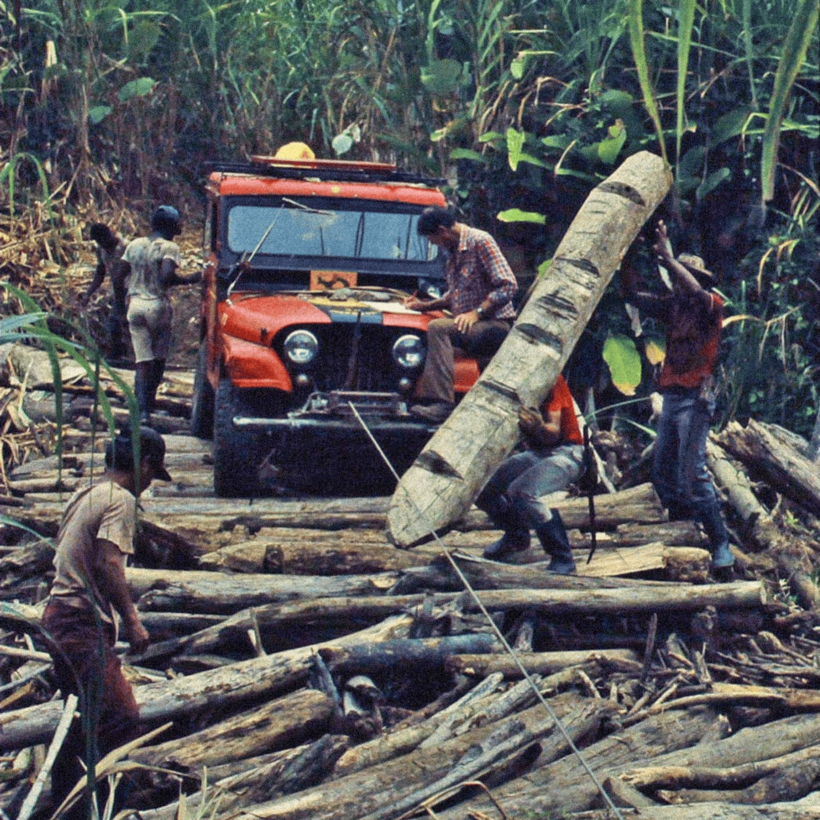
The border between Panama and Colombia kinks confusingly for 200 miles through territory that neither nation had fully surveyed when the line was drawn in the 1930s. And in the century since, neither has done much to make that boundary legible. Three squat obelisks are all that mark the border: one at each coast, and one set midway between them at a spot called Palo de Letras, with the word “Panama” crudely carved into its stuccoed façade.
Beyond these three points, the exact threshold between the South and North American continents is anyone’s guess, which feels strange in an age when borders are more contested than ever. How do you defend a border that nobody, including the bordering nations’ officials, can see?